

Is an Exmer-era Plymouth Valiant Station Wagon the perfect vehicle for a multifaceted weekend getaway? Probably not, but it does it in style. I had taken out the 1962 Plymouth Valiant Wagon for probably the last trip of the year last weekend.
It was a fantastic 3-day late October trip, featuring biking, hiking, a car show, trail riding on the Quad, and exploring some abandoned places. Let’s see what adventure awaits when you go fall road tripping through the northeast in a 63-year-old station wagon!
Last year, in 2024, I wrote about a day-long family trip that I took in the same car. A year later, and I am still enjoying my quirky little Virgil Exner styled Valiant station wagon.
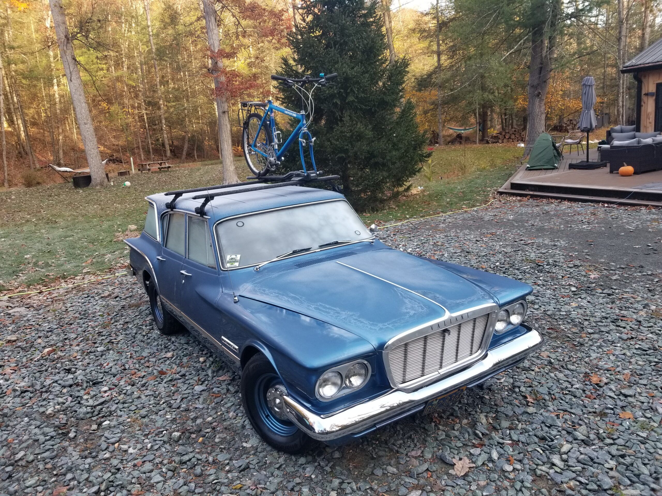
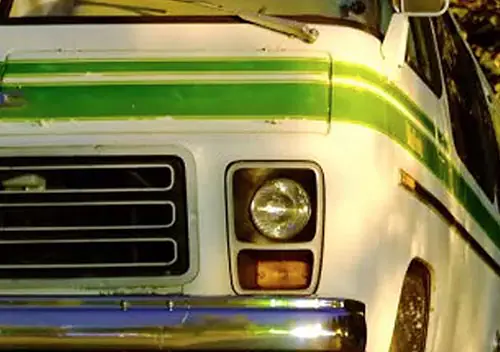
Here are some shots of the rig all loaded up at the house before I put on any miles for the trip:

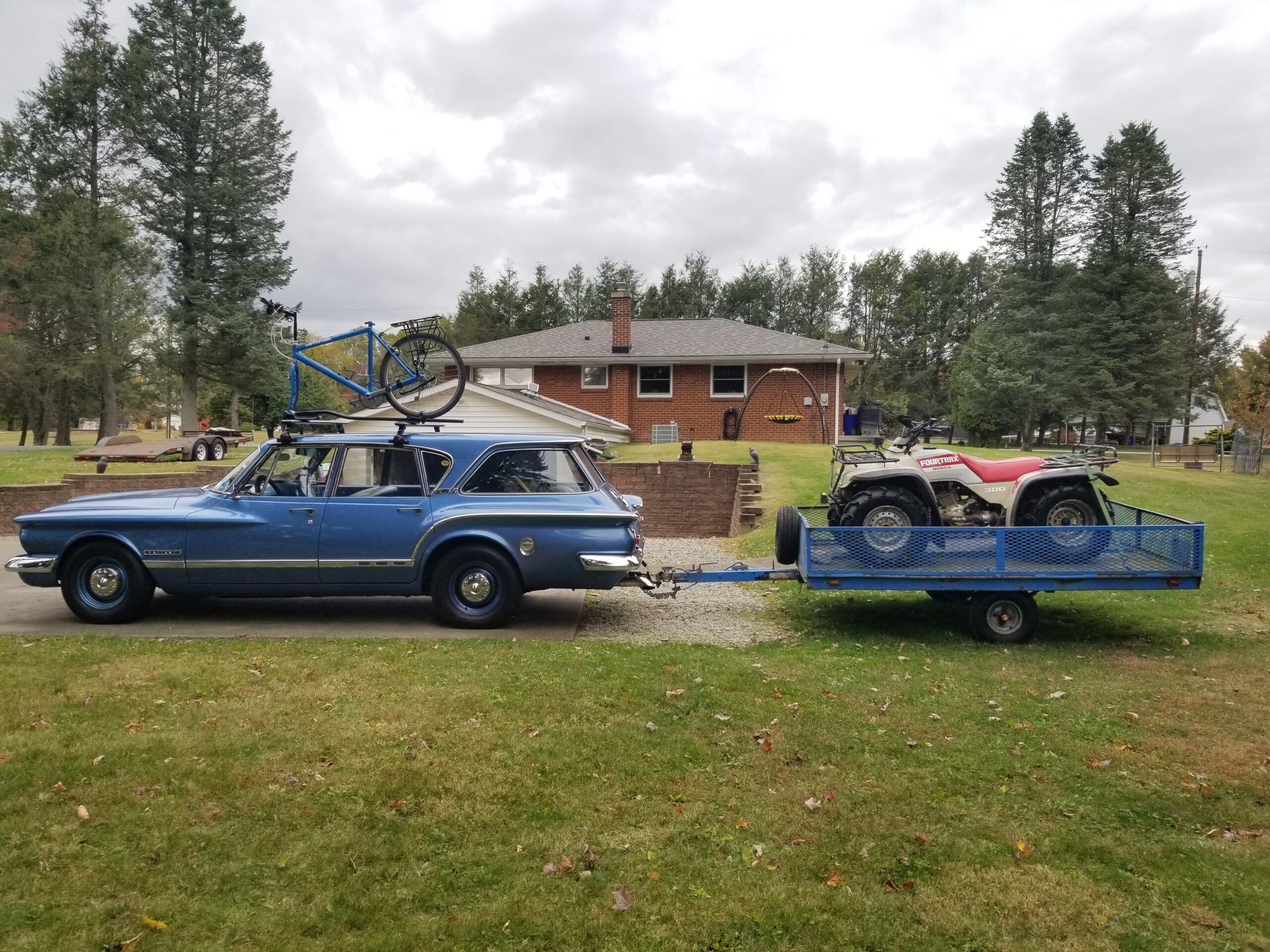
As I left the driveway, I was undecided as to whether I was going to spend the night(s) camping or couch surfing. I had brought all of my gear for camping, but it is all lightweight (high temperature – >50°F) camping gear intended for my planned bikepacking excursions in May – September. The gear consists of a 4-pound one-person tent, a 91g, pillow, and other lightweight things.
I started out Friday night, headed for my buddy’s house situated just off state land in the Micheaux State Forest, in Pennsylvania. Had I not brought along a 37-year-old Honda Quad (more on that later), I would have taken all non-interstate roads. However, I decided to take the interstate for about ~120 Miles, then some back roads to my destination.
As the overnight lows were projected to be in the ~30°-35°F range, I opted for the couch surfing option instead of real camping in the forest or along a bike trail.
A few miles after leaving home, heading east toward Laurel Hill on I-76, climbing the well-sorted grade:
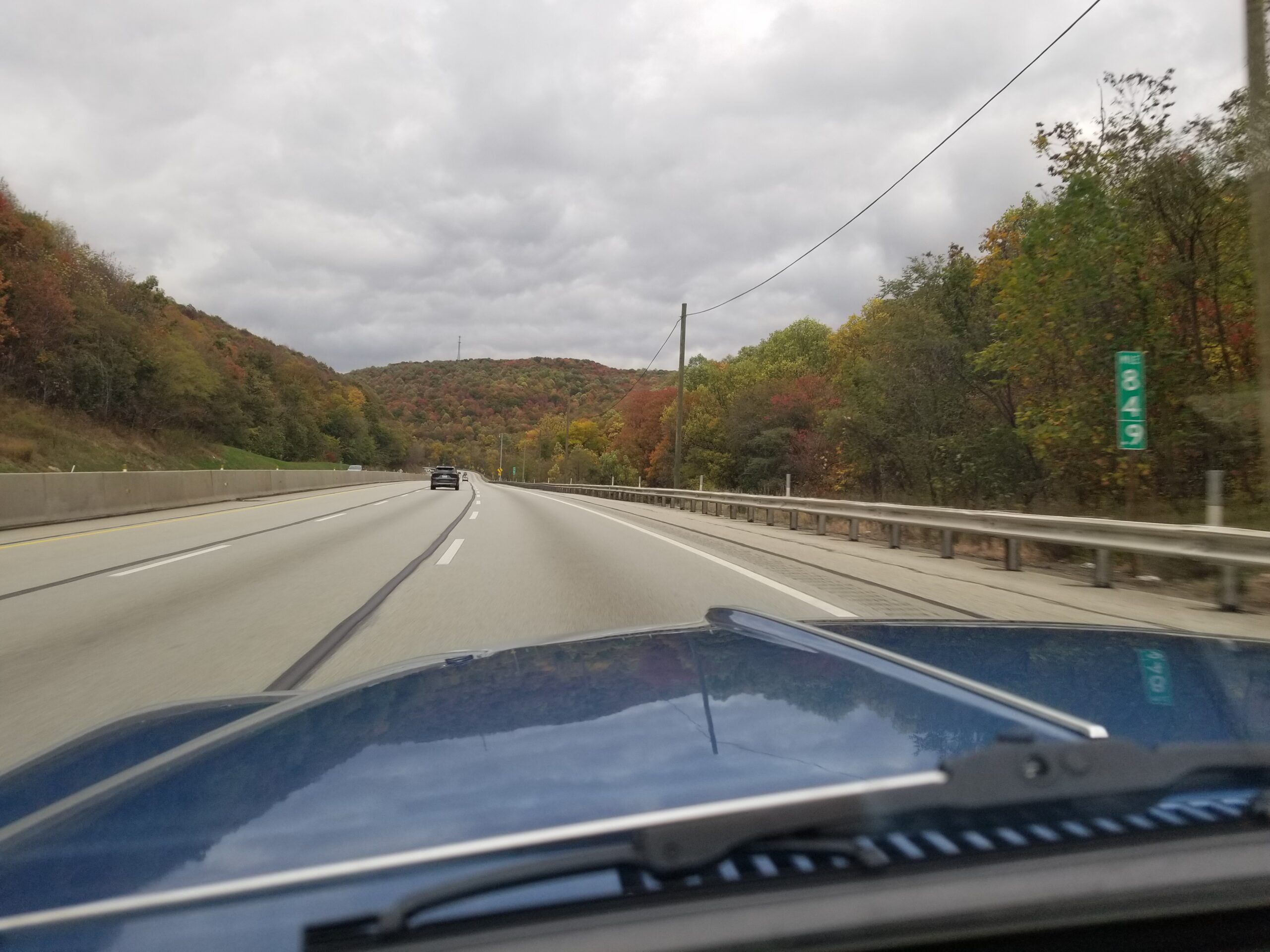
In this shot behind the salt dome in the Laurel Hill Mountain, is the old Laurel Hill Tunnel. Long abandoned, now it is owned by Chip Ganassi Racing for Wind Tunnel Testing.
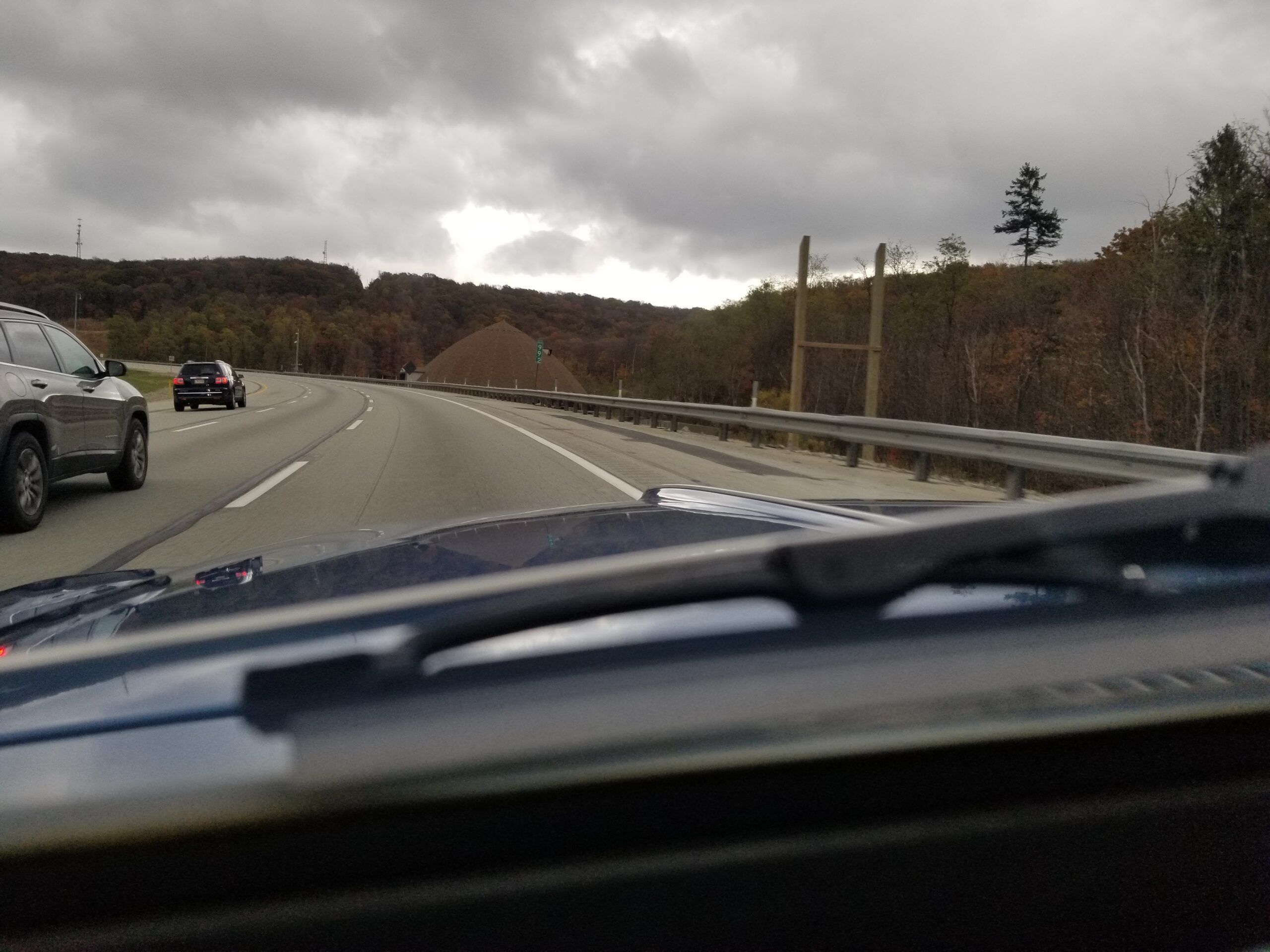
It is private property, so security cameras keep an eye on you, and no exploring is allowed. You can, however, drive above it if you take Tunnel Road from PA State Route 31 in your Jeep or other 4WD vehicle.
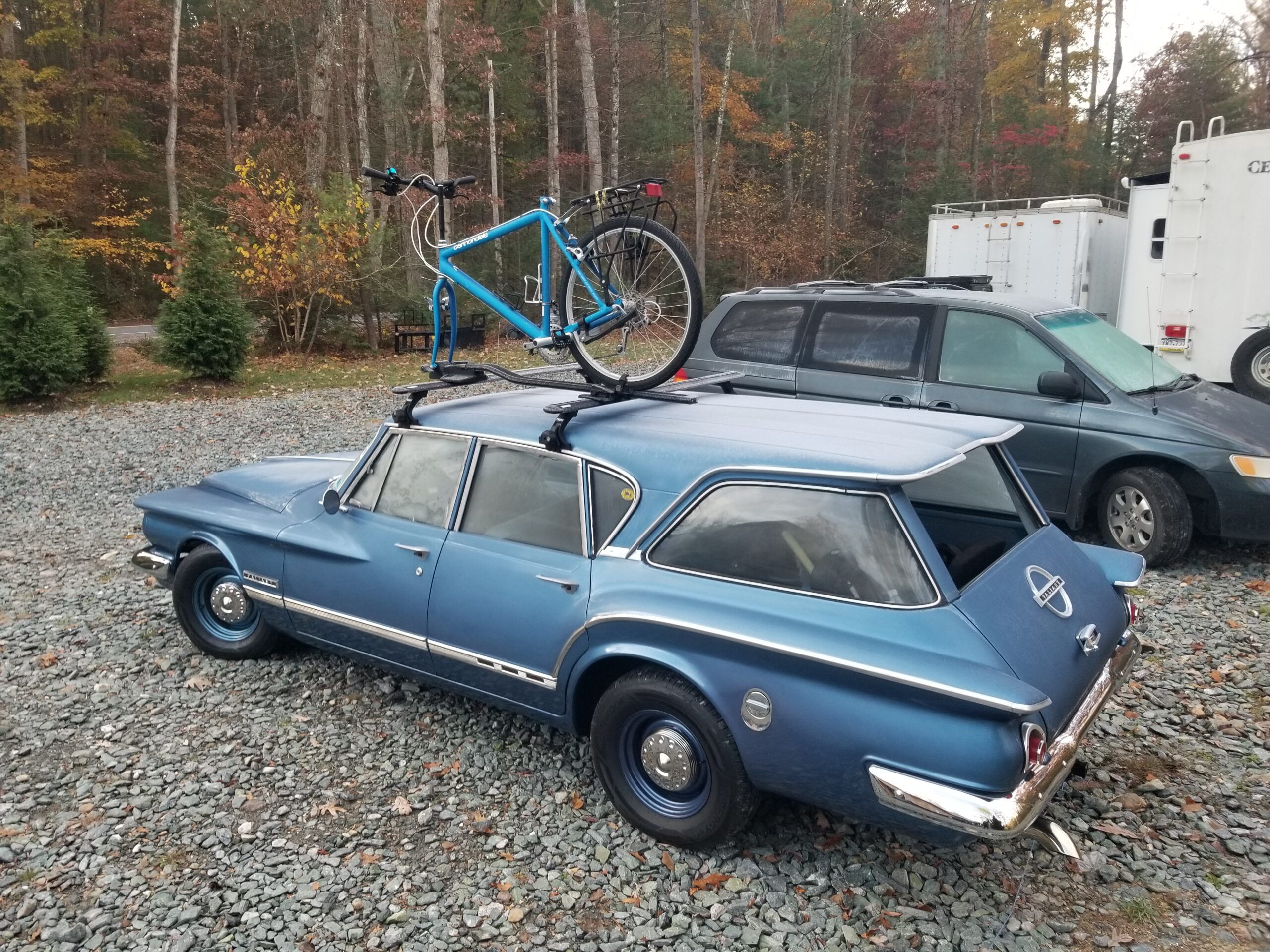
I arrived at my buddy’s forest house after 8 PM, unloaded the quad and trailer. It was very dark — great for stargazing! The next morning, there was frost on the little wagon….. brrr.
After I got the windshield defrosted, I began my day’s journey through the forest to a Car Show in Union Bridge, MD.
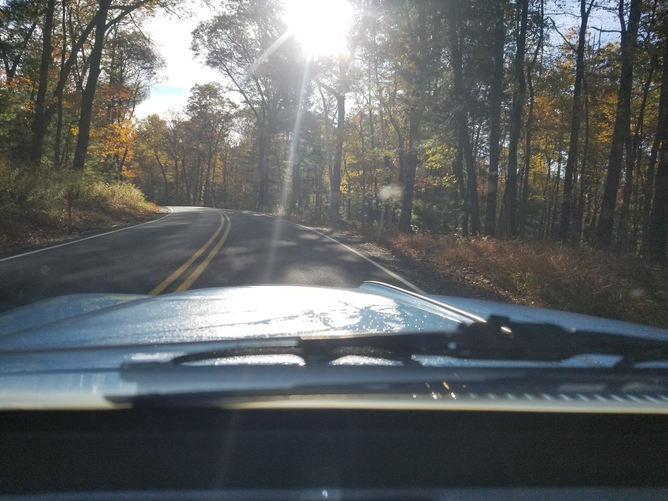
Some more forest driving yielded these windshield pictures.
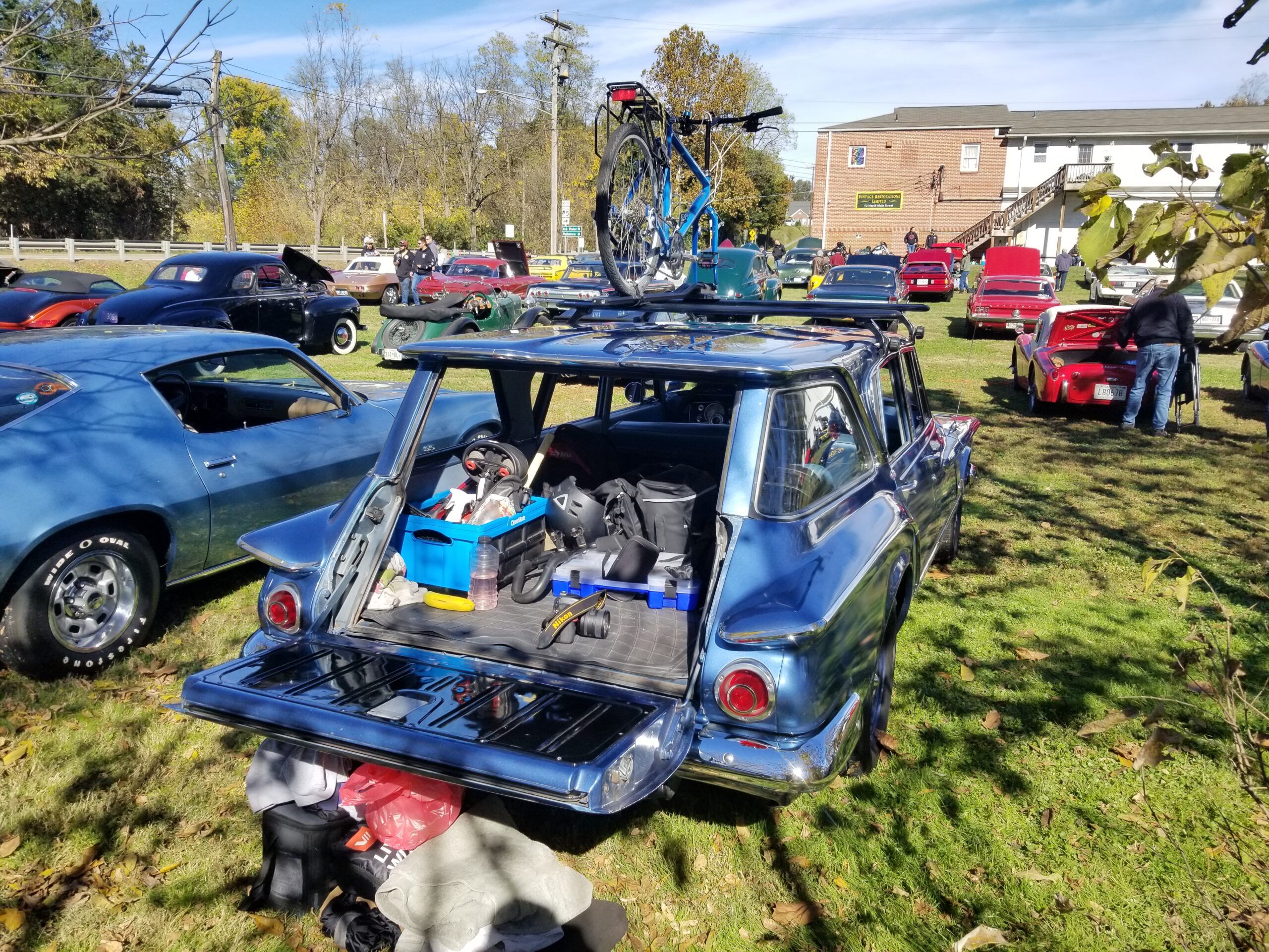
After a breakfast stop, I made it to the Vintage Restorations Limited Open House and Car Show
I love this show because there is a little bit of everything to see at the shop’s open house. Here is my photo album from the show if you care to see some of the cars.
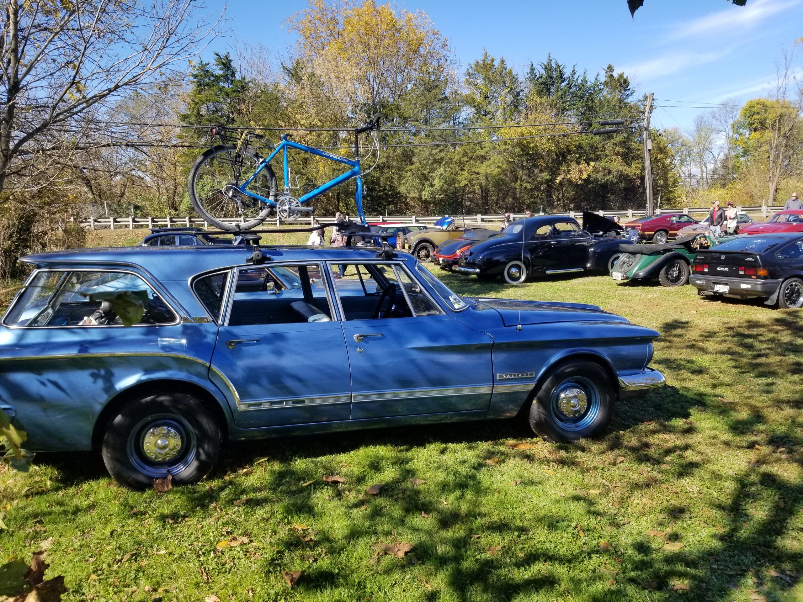
After the show, I drove to the C&O Towpath on the Potomac River for some biking. It was about an hour drive on a beautiful October day in Maryland.
I am planning a ~330-mile trek in May 2026 from Washington, D.C. to Pittsburgh, PA, along the C&O and the Great Allegheny Passage. The combined routes of the 2 trails allow a traffic-free trip from DC to Pittsburgh.
The little snippet of the trail that I rode for this adventure, from Limekiln to Lock #40 (13 miles one way), gives me a good sense of what to expect in the not-so-crowded areas of the trail. There are many primitive, Hiker-Biker Campgrounds along the way that I do expect to utilize for my spring 2026 trip.
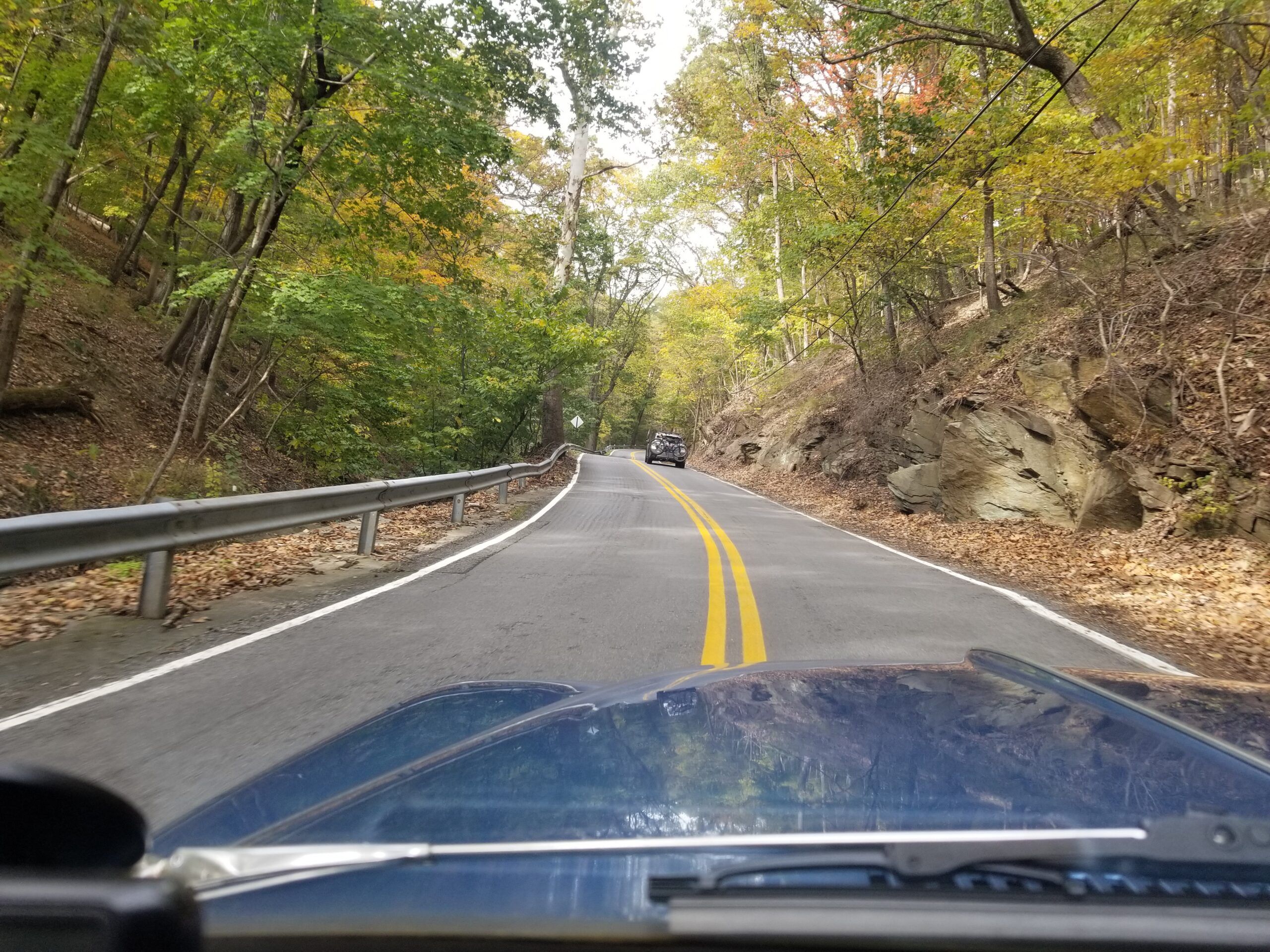
On the way to the trailhead off of US 340 in Maryland, some fantastic twisty river valley roads led through the Potomac River Valley on the Maryland side. This is Sandy Hook or Harpers’ Ferry road.
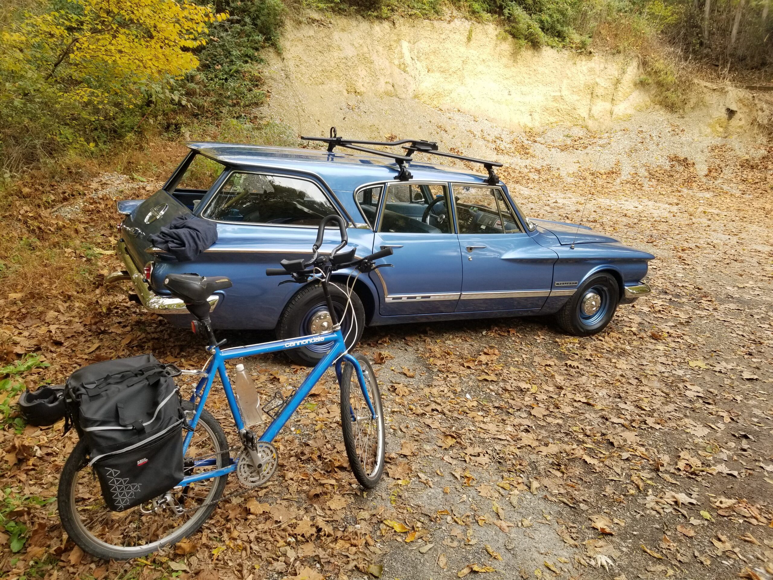
Ah, I finally made it to the Limekiln trailhead/parking area. It was a nicely shaded and not crowded spot.
Time for some seat time on the ‘ol Cannondale.
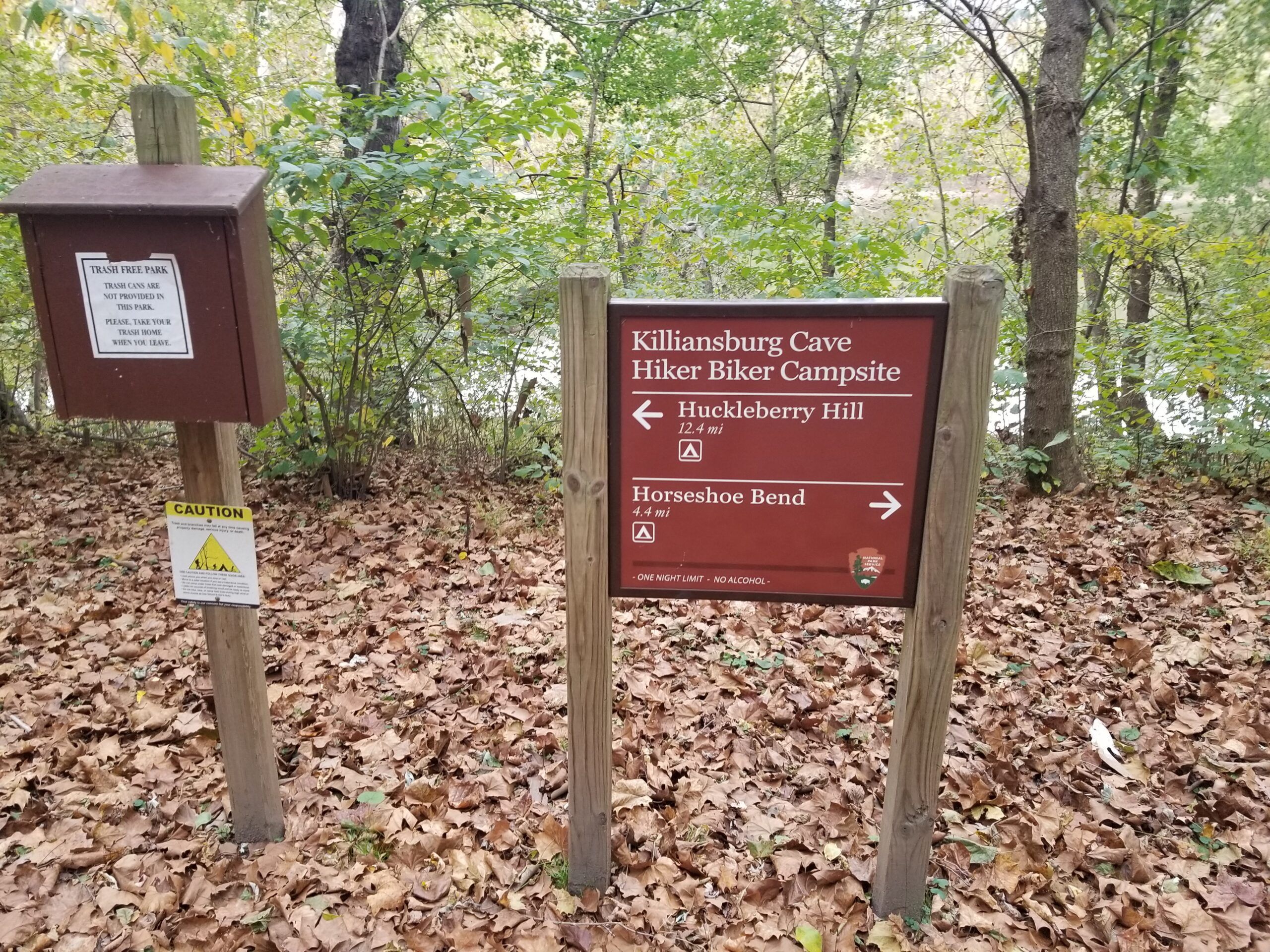
There are many sites to choose from for campers along the trail side. I made it to Lock #40 (about 13 Miles north of where I began) in about an hour before I decided to turn back.
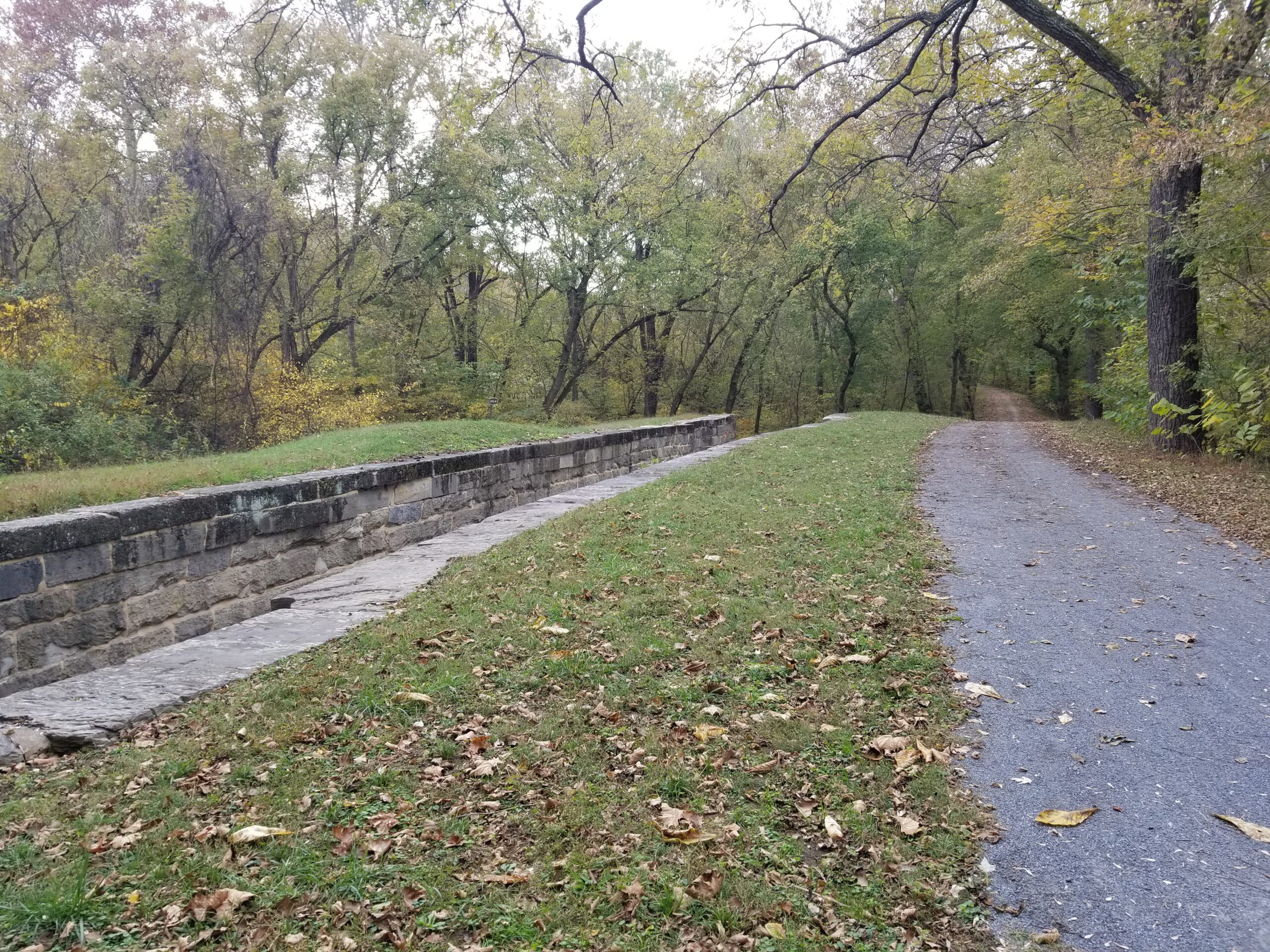
The C&O is relatively flat, save for the 8′ elevation changes at each lock.
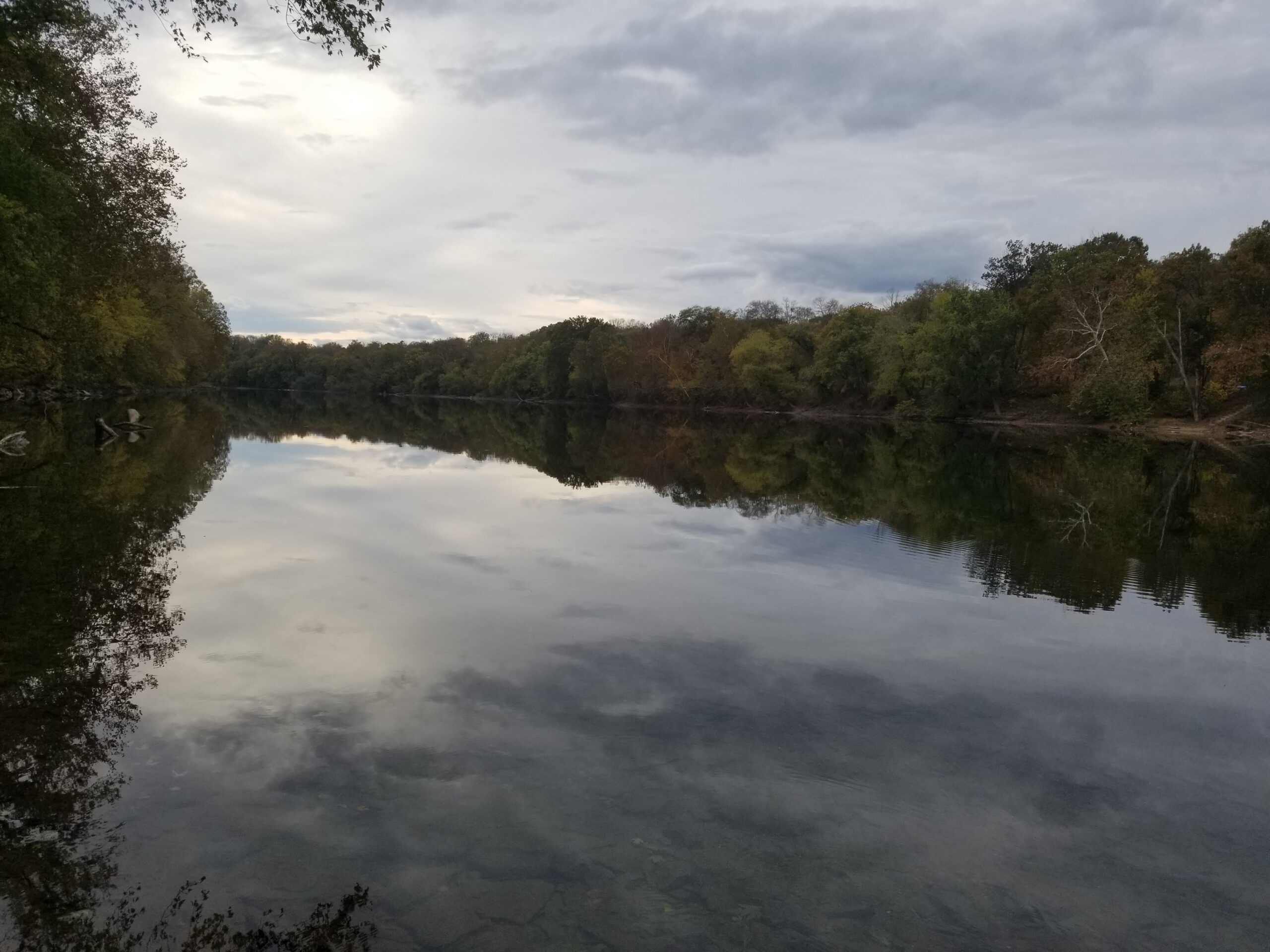
I grabbed some shots of the calm, serene Potomac on this October afternoon. What a fantastic place to grab a quick and relaxing snack along the shores.
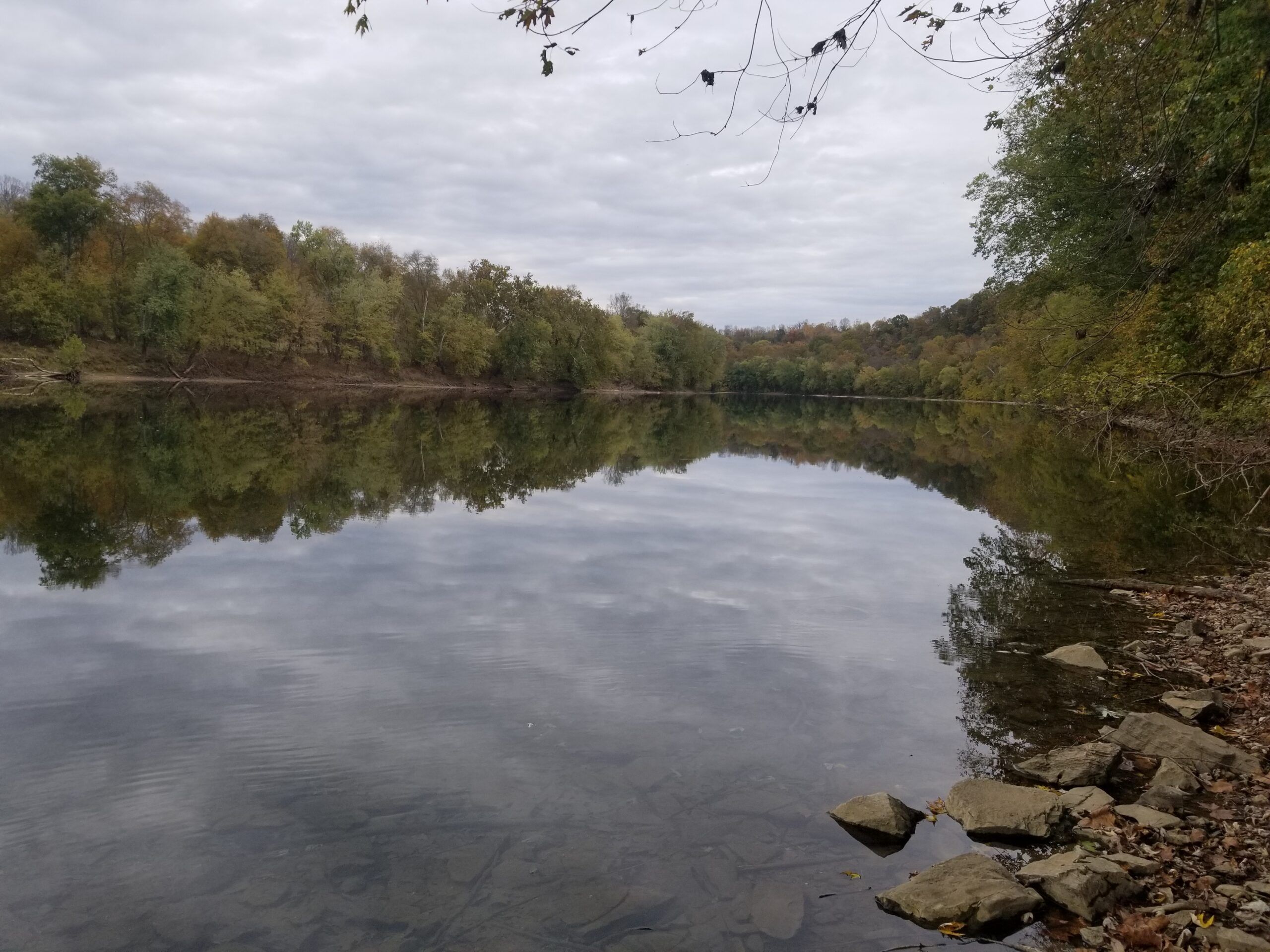
After the Bike Ride, I packed up and made it back to my buddy’s forest house around 7 pm. It was dark, and we had dinner, then decided to turn in for the night.
The next morning, I treated myself to a Hike on the AT. My buddy’s house is about 1/4 Mile from the trail. Off through the woods I trundled. Crossing into official state land, I encountered these cool markers on the trees:
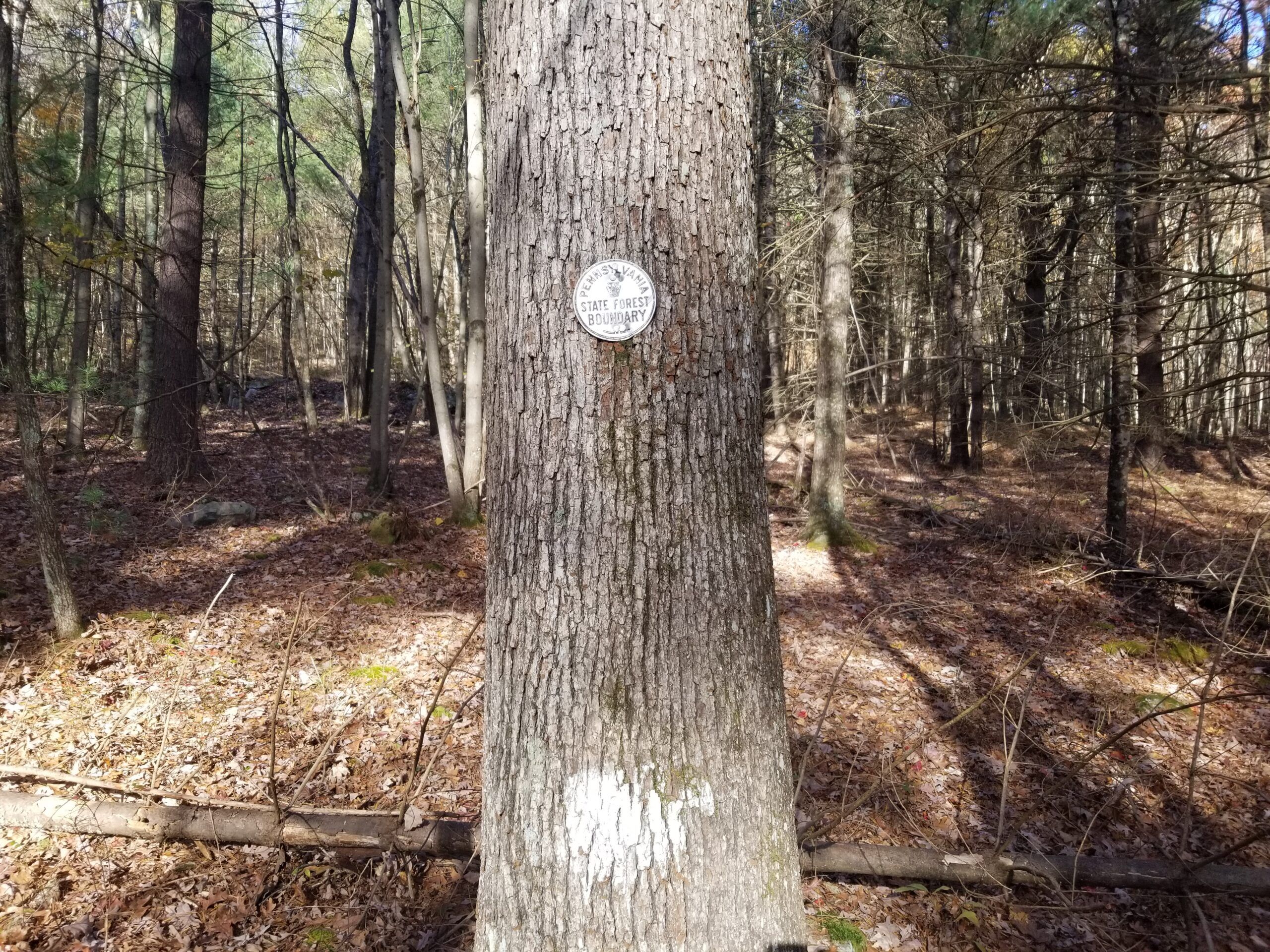
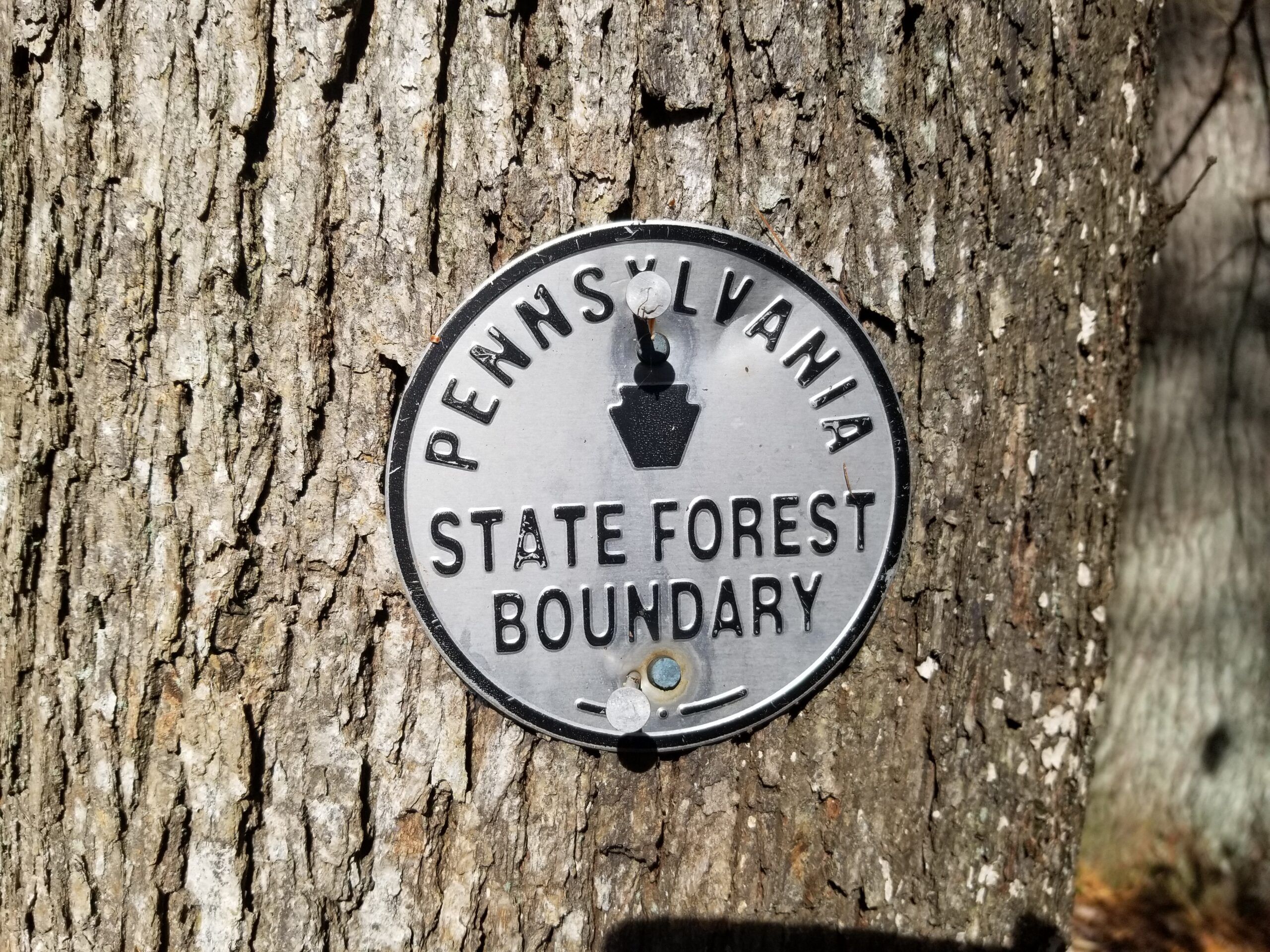
I was hiking on a section called Rocky Mountain – as you might imagine, there are a lot of rocks up there on the ridge top.
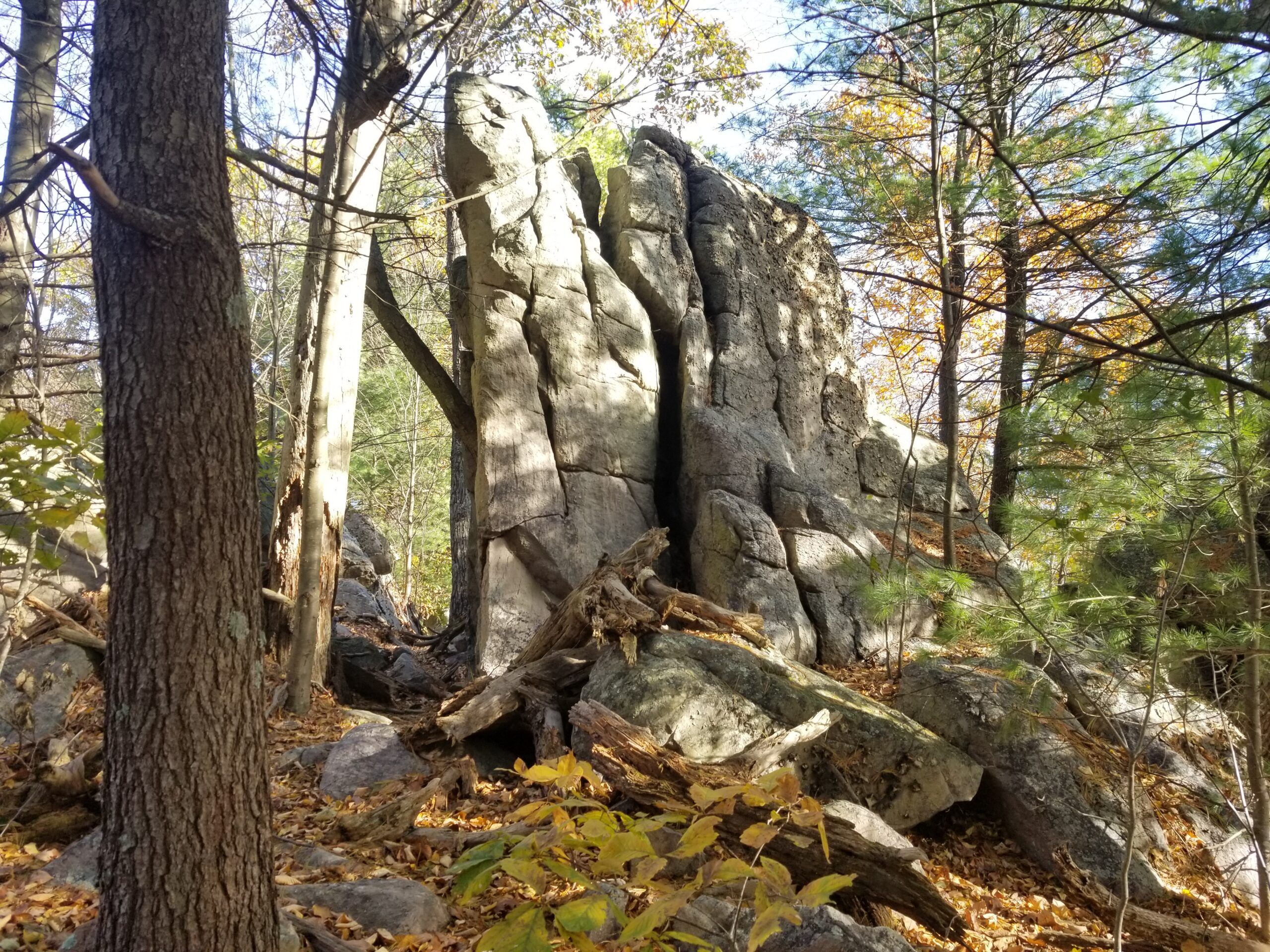
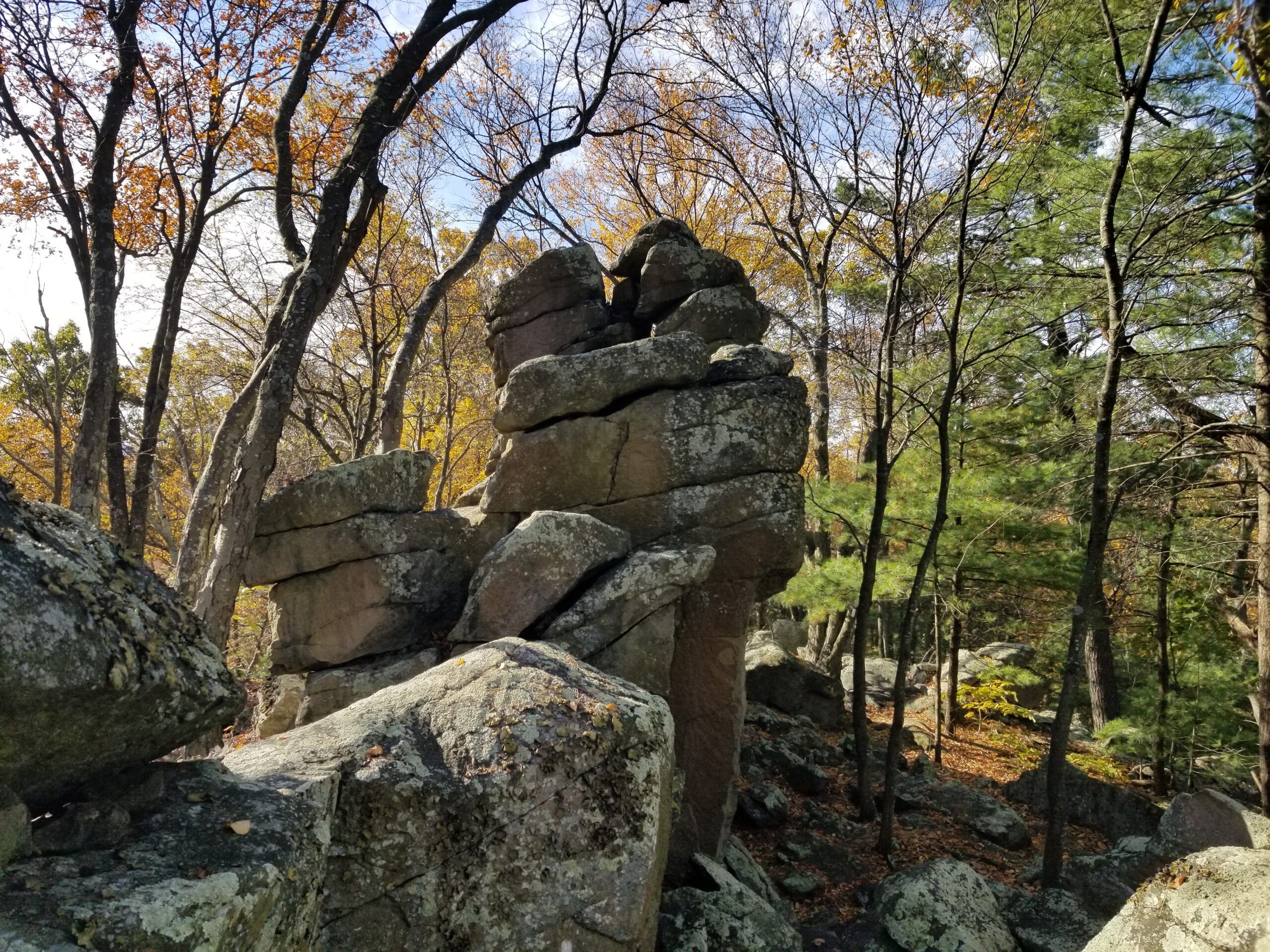
After the hike, about 7 Miles round trip, we had lunch and then rode quads until dark. That was super fun!
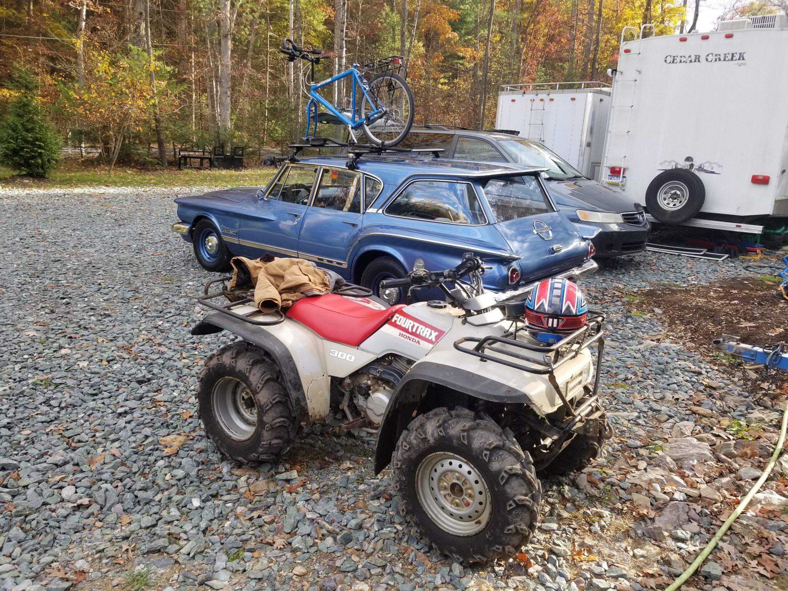
The next morning, I woke up to head home. I grabbed some breakfast and then decided to tow the quad and all the other stuff on US 30, headed west. I avoided the highway to Breezewood, PA, about a 50-mile trip. There are some pretty good mountain climbs on US 30 from Chambersburg to Breezewood, but the ‘ol Slant 6 in the Valiant just asked for 2nd gear on the column-shifted manual transmission a few times.
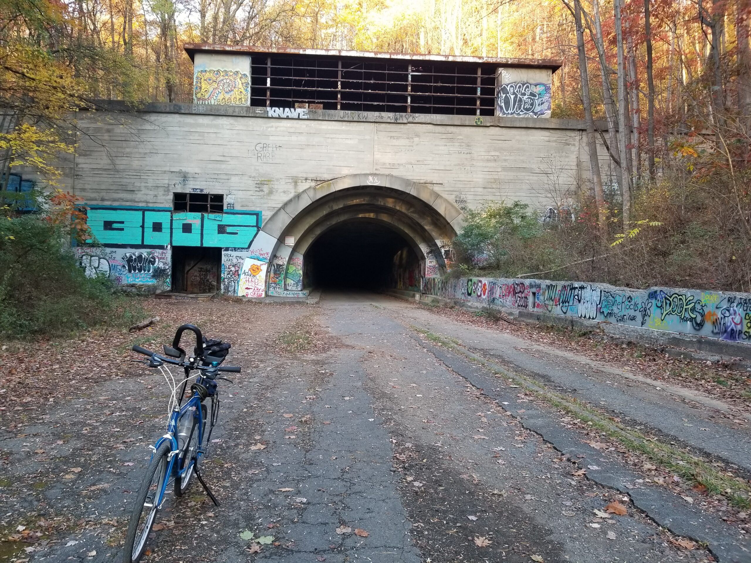
Once in Breezewood, I parked the rig at the Abandoned PA Turnpike Trailhead. I have wanted to explore this area for a while. It was a serene and eerily calm atmosphere in the air that morning as I began to pedal back east, eventually through two abandoned tunnels toward Sideling Hill.
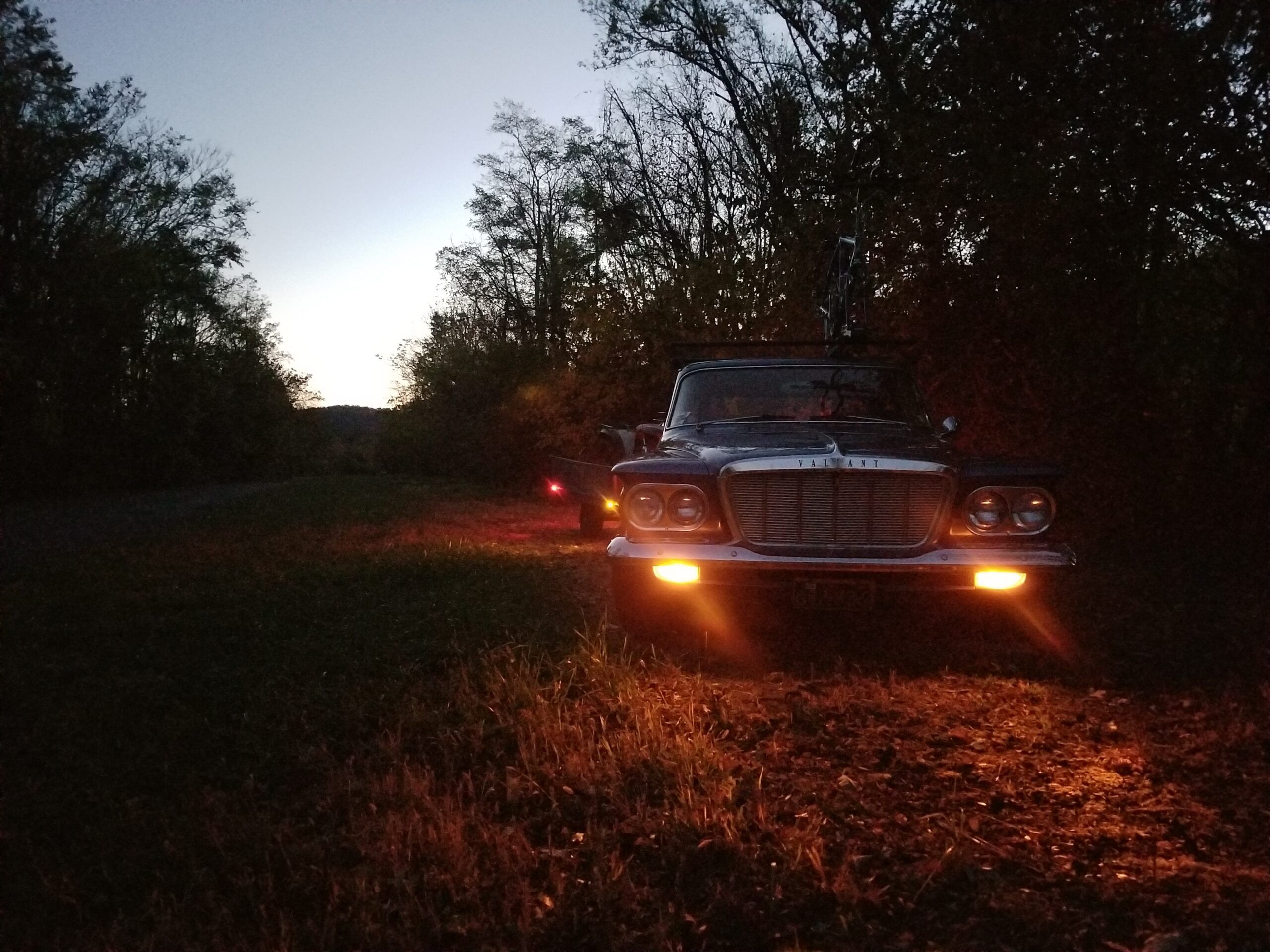
I did take some glamour shots while I was parked here, before sunrise. Then it was on to the bike.
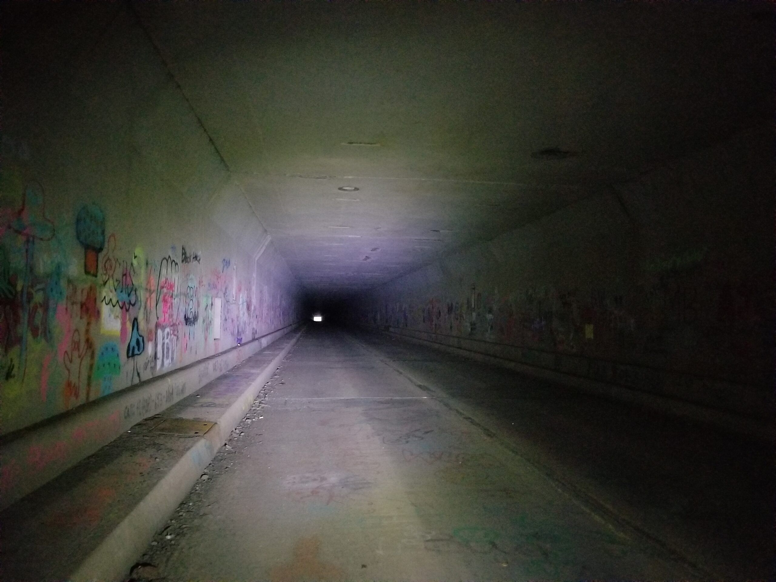
The white square is the light at the end of the 3,532′ long Rays Hill Tunnel. There was quite a breeze in there the morning I rode through.
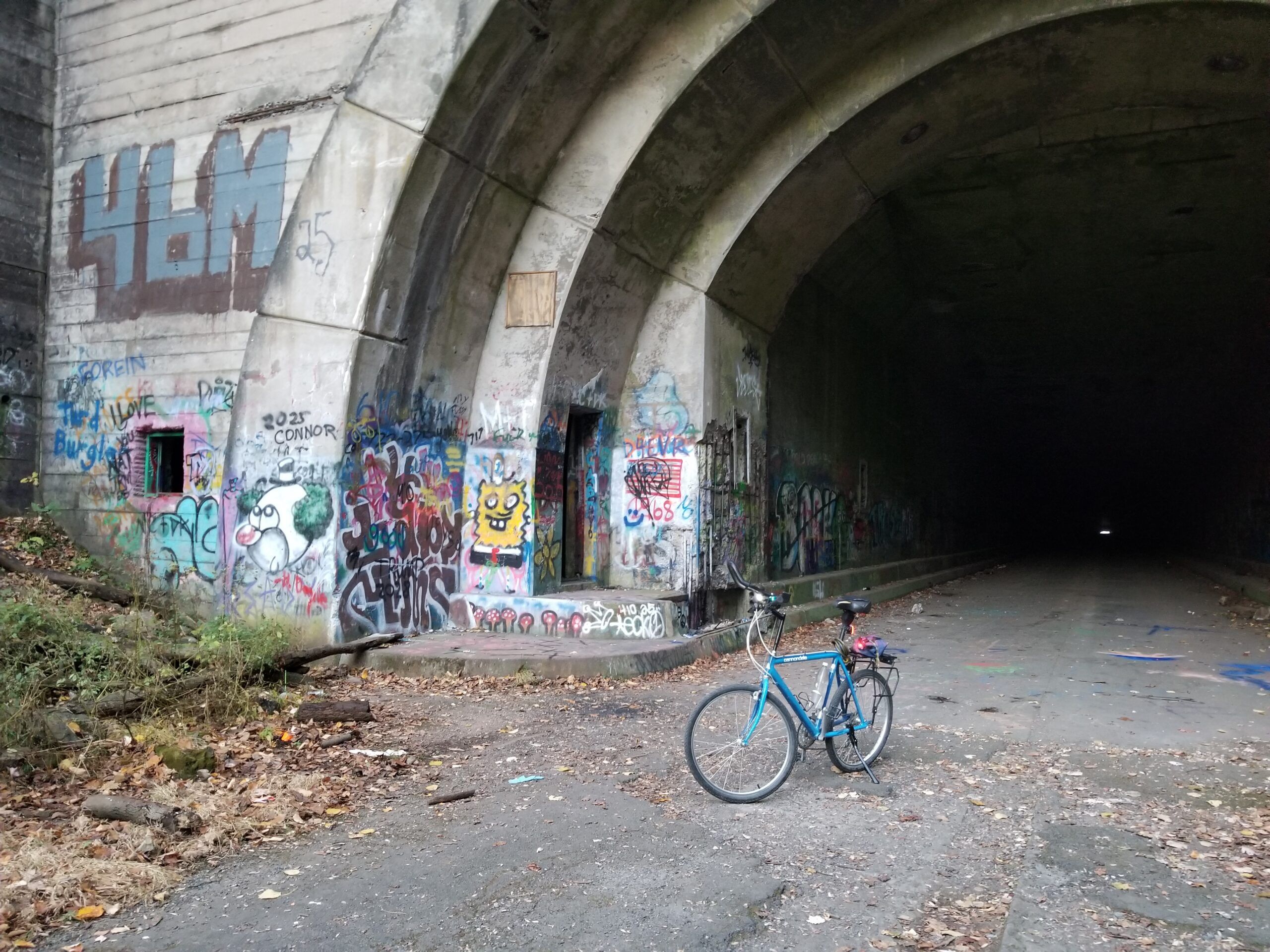
Some shots from the east end.
Onward toward Sideling Hill: The riding experience is odd. It’s rough in places due to the finish layer of asphalt being gone, potholes, cracks, etc. At the same time, it sounds like you are riding on loose cobbles because the top layer of asphalt(when present) is no longer bound to the binder layer underneath, so the bits of asphalt click and clack when biking over them.
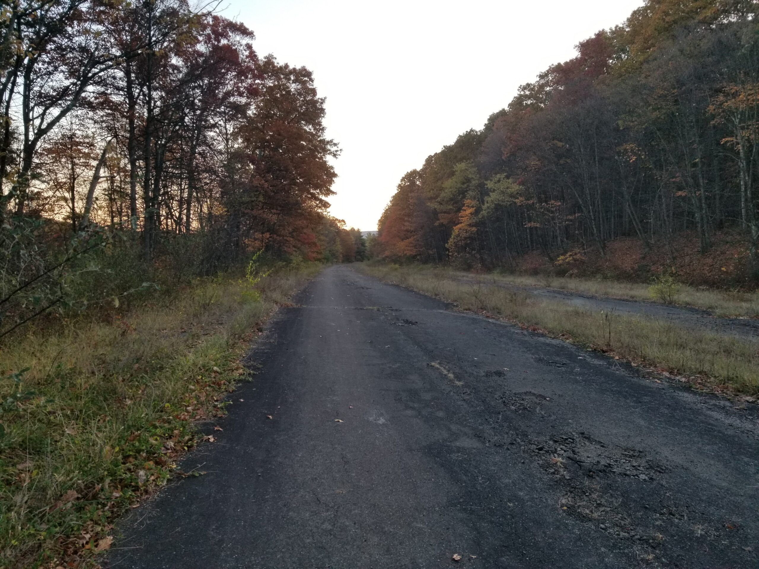
Some sections are so rough that I lost my water bottle and my rear flasher light off the bike.
Entering the long Sideling Hill Tunnel Western Portal heading east:
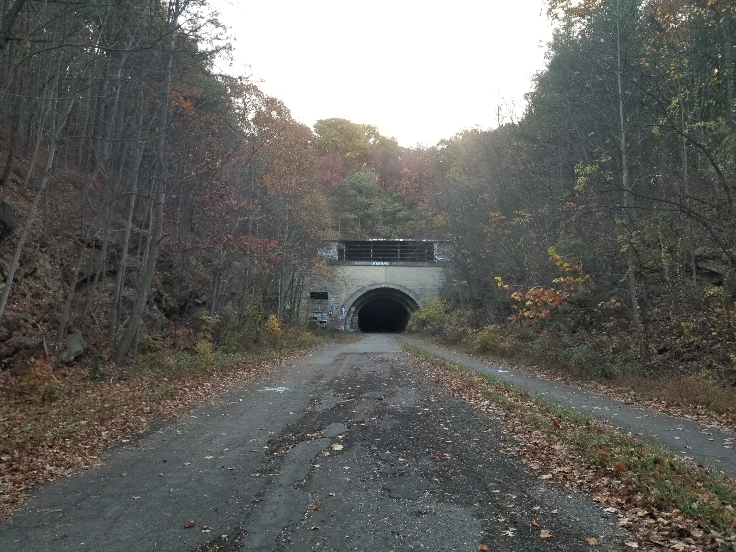
The Sideling Hill Tunnel is over a mile long at 6,782′. When you enter, you cannot see light at the end due to the changing grade in the middle.
Out the other side: more than a mile later.
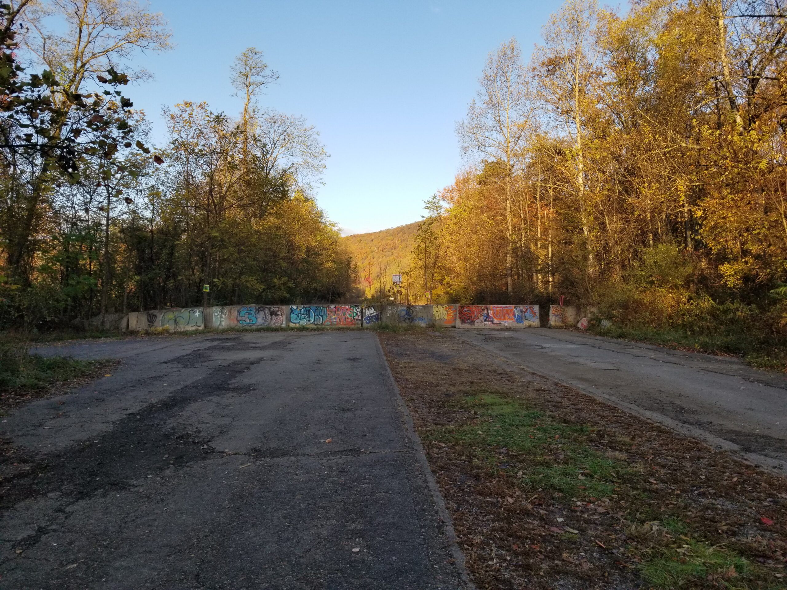
The abandoned road is fairly well blocked off to vehicular traffic:
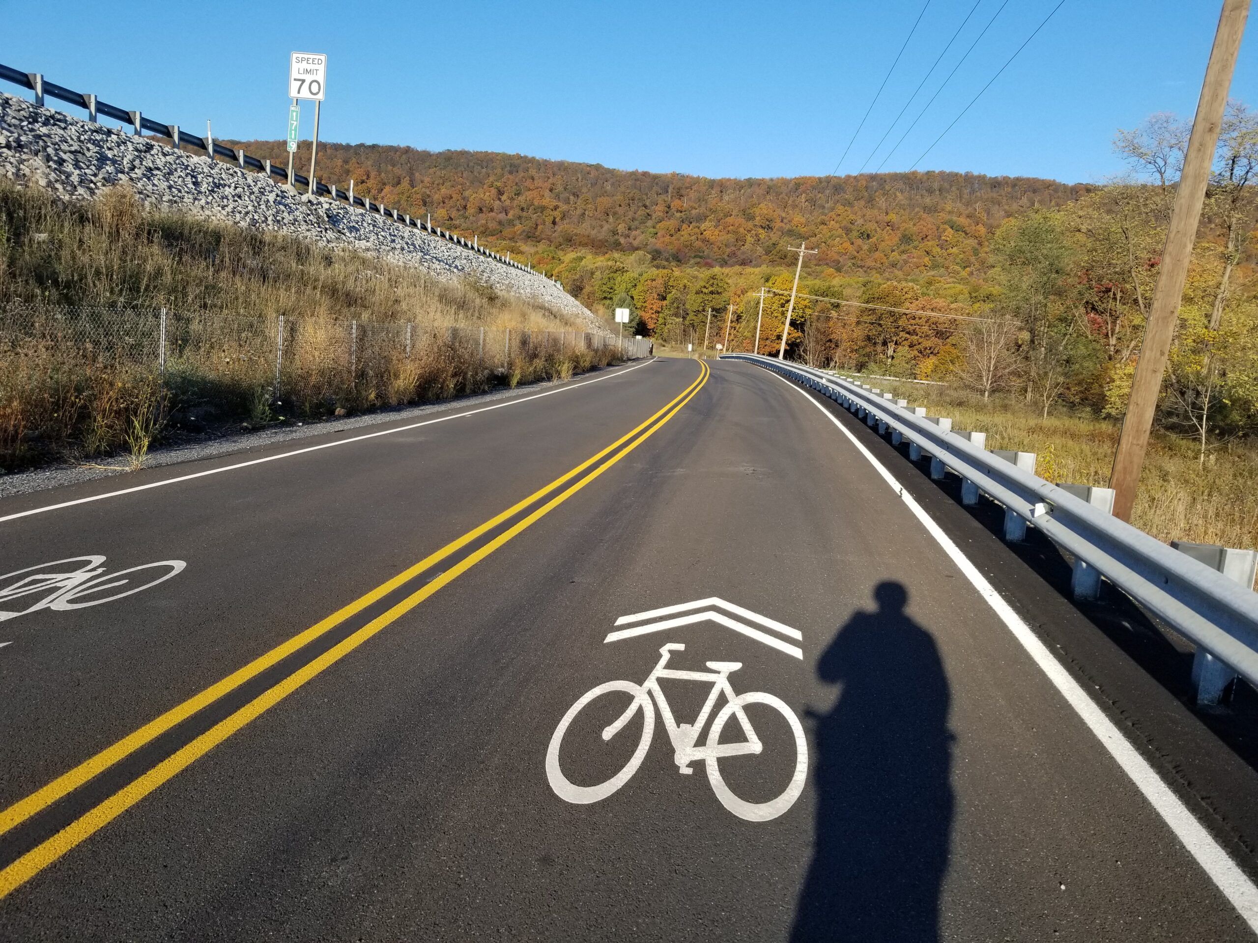
I continued pedaling a mile or so on back roads to the new Sideling Hill trailhead at the rest area on I-76:
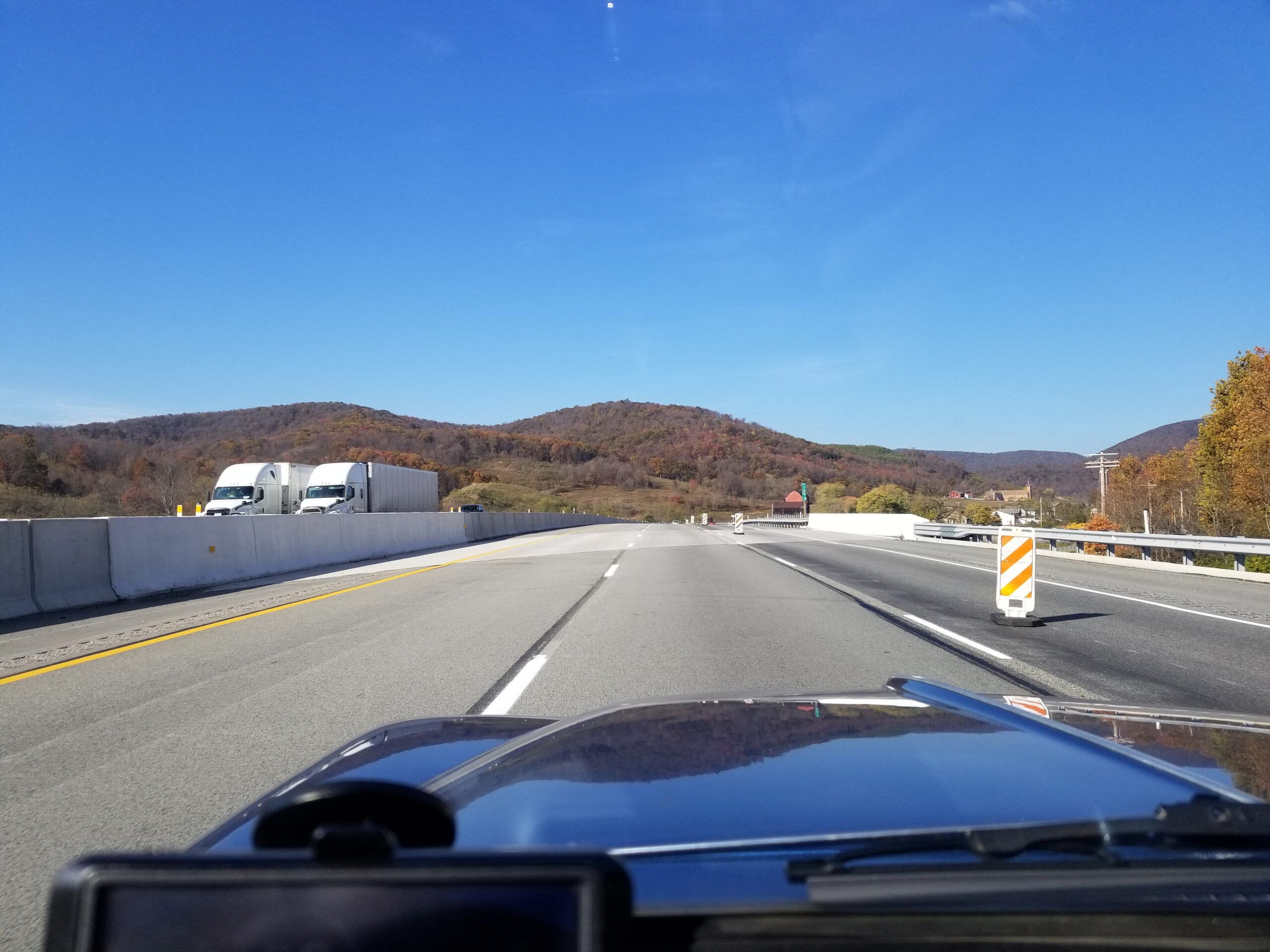
I took a bit of a rest, turned around, then headed back for home, on the interstate with my bike and quad in tow:
It was a pretty good trip for a 63-year-old station wagon and the 37-year-old quad. I had tons of fun and made some great memories along the way. No mechanical issues or breakdowns with anything… the way I like it.







Awesome little car curious about your mileage
Not too great – 14-17 MPG whilst towing ~800# of trailer and the less then ideal aerodynamics of a 26″ cannondale on top.
The car has no Overdrive, a 3.55:1 Rear Axle Ratio and 215-70-14 tires. With the big cam, medium over-sized valves and moderate headwork, and Offenhauser 4 Barrel intake there is room for improvement in the MPG department.
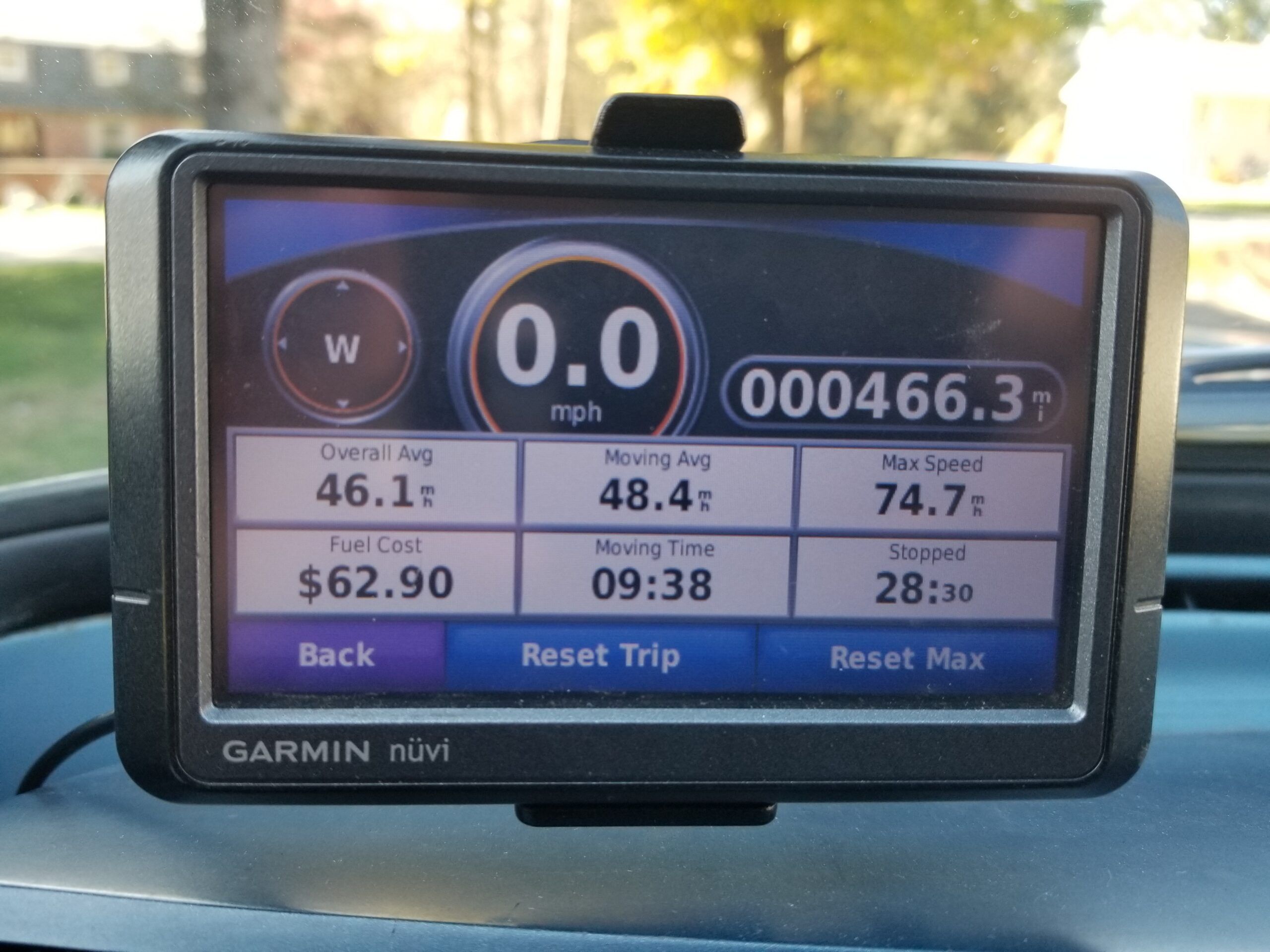
Thank you for sharing your adventure, Slant Six. That is one cool station wagon you’ll never worry about losing in a huge parking lot. Your top speed of 74.7 raised my eyebrows! A wonderful accolade for the old girl.
Thanks you, I just check my log from the August 2025 trip to Virginia with no trailer – I had it up to 77Mph on that one. I am planning a 5 Speed swap. Maybe it will get started this winter.
Great story, having fun and being different at the same time, that’s the way to do it.
Thank you, I am glad you enjoyed it.
Why is 74mph brow raising? My 1970 Maverick with 170 six and automatic would do that all day long!
With a Quad on a trailer behind it and a bike on the top?
This car is an enigma to me. I’ve read the analysis of the Valient and what Exner was trying to do, but I still find them grotesque – or at least the sedans. Yet I just love the look of this wagon! I realize it’s mostly the droopy butt and back end that I can’t deal with on the sedans. The wagon has so many cool details: the rear windows and the back edge of the roofline, it all works.
Now I want to go see that abandoned turnpike….
I have both a ’62 Sedan and this ’62 Wagon. I like ’em both, but yes, the Wagon gets the nod in the looks department.
Wow, what a profile. That’s the Exner to own.
Nice spiffy looking wagon ! .
All the pictures and detains just make it better .
-Nate
I find it truly heartwarming to see a true curbside classic on Curbside Classic doing actual car things!
You definitely have to admire someone with both the maintenance skill and sense of adventure to take an old car, even one that’s extremely well-kept, on a road trip.
What’s more is a first-generation Valiant station wagon is, ironically, not really too far removed in size and execution from a typical, modern CUV like, say, a RAV4. But you’d get a whole lot more attention with the old A-body, that’s for sure.
Yes, I enjoy doing car things with all of my old cars. There is other documentation of my exploits here on CC if you care to take a look:
https://www.curbsideclassic.com/author/slant-six/
I am a fan of these cars, especially the two door hardtop Lancers. Unique.
There was a lot here for me! Valiant, old FourTrax, trail ride and the old “Crack and Fail” bicycle as we called them back in the day.
One more pretty place I need to add to my list of places to go.
I used to spend quite a bit of time in that area. Harpers Ferry and hikes on the AT were a staple of my father’s Sundays with us in tow. The buffet at the Hilltop House Hotel was a highlight of the day.
Our Boy Scout troop did a 50 mile hike/canoe trip in that area; hiking on the C&O Canal and then canoeing down the Potomac. Good memories.
Great to see your valiant Valiant at work and play.
Thanks, I bet that was fun times for you back then.
I would not have it any other way with my old cars.
Old cars are like our bodies – they need to be used, not just sitting around.
I’m familiar with these Valiants, but only as a four door sedan. The wagon looks quite unusual to these Aussie eyes, mainly because of the thick reverse-slanted ‘D-pillar’ and the way it splits up the shape of the rear side window. Somehow, it works!
Nice colour, and good upgrades.
I am assuming the R and S Series were never offered as a Wagon or Ute body “down under”? Thanks for your insight.
Gorgeous car and great reflection of your escapade. Well done!
Thank you for sharing your beautiful and unique automobile with us. Your story is fascinating. Did you come across any unusual characters on the quiet trail? It is interesting how you have that bike and 4X4 which creates such a diverse collection of vehicles. The photos are great. I really love looking at the shape of this car and the color. If you showed up at a car show full of modern European sports cars, I’d be with your Plymouth and not them! Thank you.
Thank you. Yes the wagon generates a bit of a buzz wherever I take it, especially to cruise nites and car events. It does get the looks, as so many people that are a generation older than me usually recall the Sloped rear of the Sedan, both 2 and 4 door variants, as well as the hardtops.
The Quad is a purchase I bought solely for plowing snow, as I broke the transmission on the last Craigslist-purchased lawn tractor on a heavy, wet snow once. Now the quad has both recreational and work functions around the house and on trips.
The bike was bought from my neighbor, a widow who was selling her late husband’s effects.I have probably put over a 1,000 or more miles on it over the years. Planning a bike packing trip from D.C. to Pittsburgh in spring 2026 with the ol’ Cannondale.
Like cars, most upper scale bikes have replaceable parts from shimano, Sram, etc so It is no problem keeping it going.
Thank you for sharing your adventure. It’s often been said that you either love or hate the early Valiant and Lancer. I loved them from the beginning although I regrettably never owned one. The station wagon model would be my first ownership pick, but I believe that the coupe is it for looks.
Up until 30 years ago I still saw a couple in regular daily duty in Pa. Yes, I am well aged. A bank teller who worked near my place of employment throughout the entire 1980’s, drove an early Exner Valiant. Summer, Winter, always. If I saw that Valiant in the parking lot, I knew that the world (back then) had a chance.
I messed around in that C&O canal path area a few times in the late 70’s and early 80’s. Nice country! I actually travelled through those old former Pa.Turnpike tunnels and abandoned sections as a youngster. They had a way of ramping up the anxiety.